How will you travel??
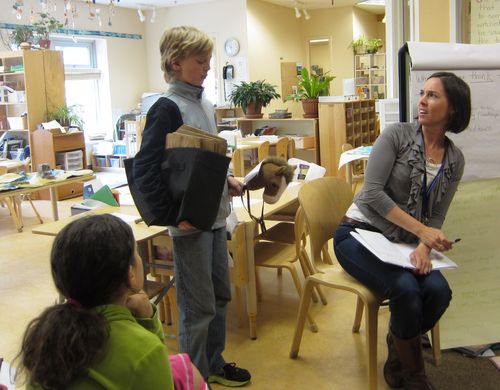
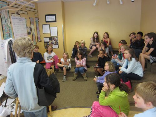
Last week, a mysterious visitor rode in on horseback offering us all a very important invitation:
Greetings! I am a messenger from the Wy'am tribe of the Great Celilo Falls and I would like to invite all the tribes from the Pacific Northwest to join us for our gathering at Celilo Falls on Tuesday the 5th of June. Bring your tribes' finest items for trade. There will be salmon abound as the spring salmon run has been plentiful! We look forward to trading, playing games and meeting with you around the campfire!
Good luck on your journey to the gathering!
And what a journey we have ahead of us! The children quickly began their planning:
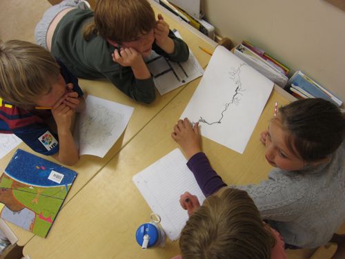
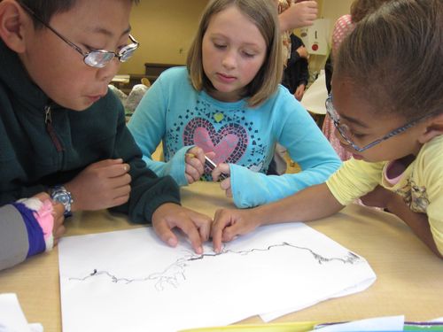
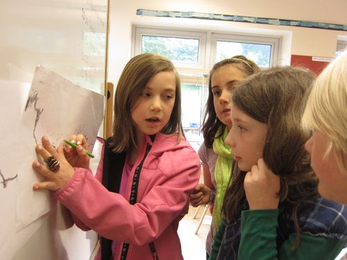
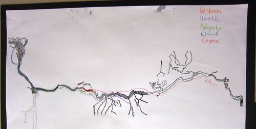
AB: I know the Columbia River is somewhere down here, I just put it on my map.
Teacher: Did Natives use maps? How long had they lived at or traveled to the falls?
AA: Over 10,000 years!
AB: The first people didn't know exactly, but they figured it out.
Teacher: How did they know?
BK: By the way the river flowed.
OD: They probably drew pictures for other tribes to use.
SD: Or they memorized it.
Teacher: What went with those memories?
AI: Stories!
RS: Geographical landmarks.
HG: We have a lot of mountains to cross if we actually want to get there.
MM: Lots of the Blue Mountains.
Teacher: Do you have to cross the mountains to get there?
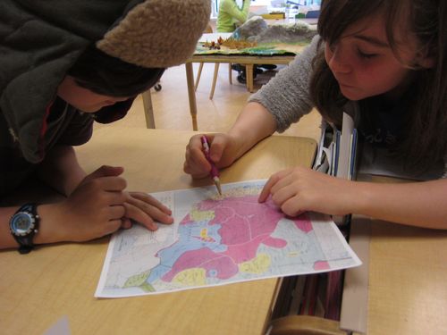
MG: I looked at the map and saw that it didn't have the Blue Mountains all the way across. If we go around the mountains into Washington, then come down where the Deschutes River comes up to meet the Columbia.
Teacher: Do you know what your starting point is?
HG: We should start by the John Day River, the very edge of our territory.
AI [looking at a relief map]: Is the Columbia Plateau the same as the Columbia River Gorge? Where are we starting, exactly?
As the children pored over maps and considered the possibilities together, they dove into work with their landscapes within this new context. As the children prepare to travel from their homeland, their knowledge of it extends through using what they already know to ask more and more questions. As they continue to ask and ponder and make decisions, the features they created in clay and paper mache now come to life in a new way and take on a different role in the story unfolding.
